Photo credit: @timur_valiev
Hi – a welcome note from me, Marc Jerrard…
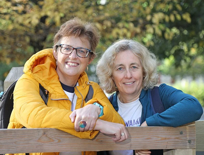
The North to South London Trail is a brilliant 34-mile route across the capital, created by Emily Morrison and Lucy Maddison of The Walking Post.
Running from Cockfosters in North London to Carshalton in the south, it links together parks, woodland, waterways and some of London's best-known landmarks – with a surprising amount of the route away from busy roads.
I've been delighted to feature the trail here on Walking in Circles as part of my collaboration with The Walking Post.
The route has continued to evolve since this guest article was first published, so all current maps, directions and downloadable route information are now maintained by The Walking Post. You'll find a link to the latest route information below.
Read on for an introduction to the trail and its five stages.
WHAT IS THE NORTH TO SOUTH LONDON TRAIL?
This route stretches 34 miles from Cockfosters in the far north of London all the way to Carshalton in the South. It traverses the capital, connecting footpaths, waterways, woods and other green spaces – some well-known, some entirely surprising. And the best bit? 75% of the route is off-road! Which, when you’re walking across a capital city, is quite something.
ROUTE DETAILS
Cockfosters to Highgate — 8 miles
Highgate to Baker Street — 6.5 miles
Baker Street to Battersea — 6.2 miles
Battersea to Colliers Wood — 7.2 miles
Colliers Wood to Carshalton — 6.1 miles
SECTION 1: COCKFOSTERS TO HIGHGATE
Distance 8 miles
Oak Hill Park I Pymme’s Brook I Arnos Park I Broomfield Park I New River Aqueduct I Alexandra Palace I Highgate Woods

ROUTE DETAILS
Start Cockfosters – Piccadilly Line
End Highgate – Northern Line
Difficulty Easy
Length 8 miles
Average time 3.5 – 4 hours
Total ascent 416ft
For the latest route, maps and full walking directions for this stage, visit The Walking Post.
SECTION 2: HIGHGATE TO BAKER STREET
Distance 6.5 miles
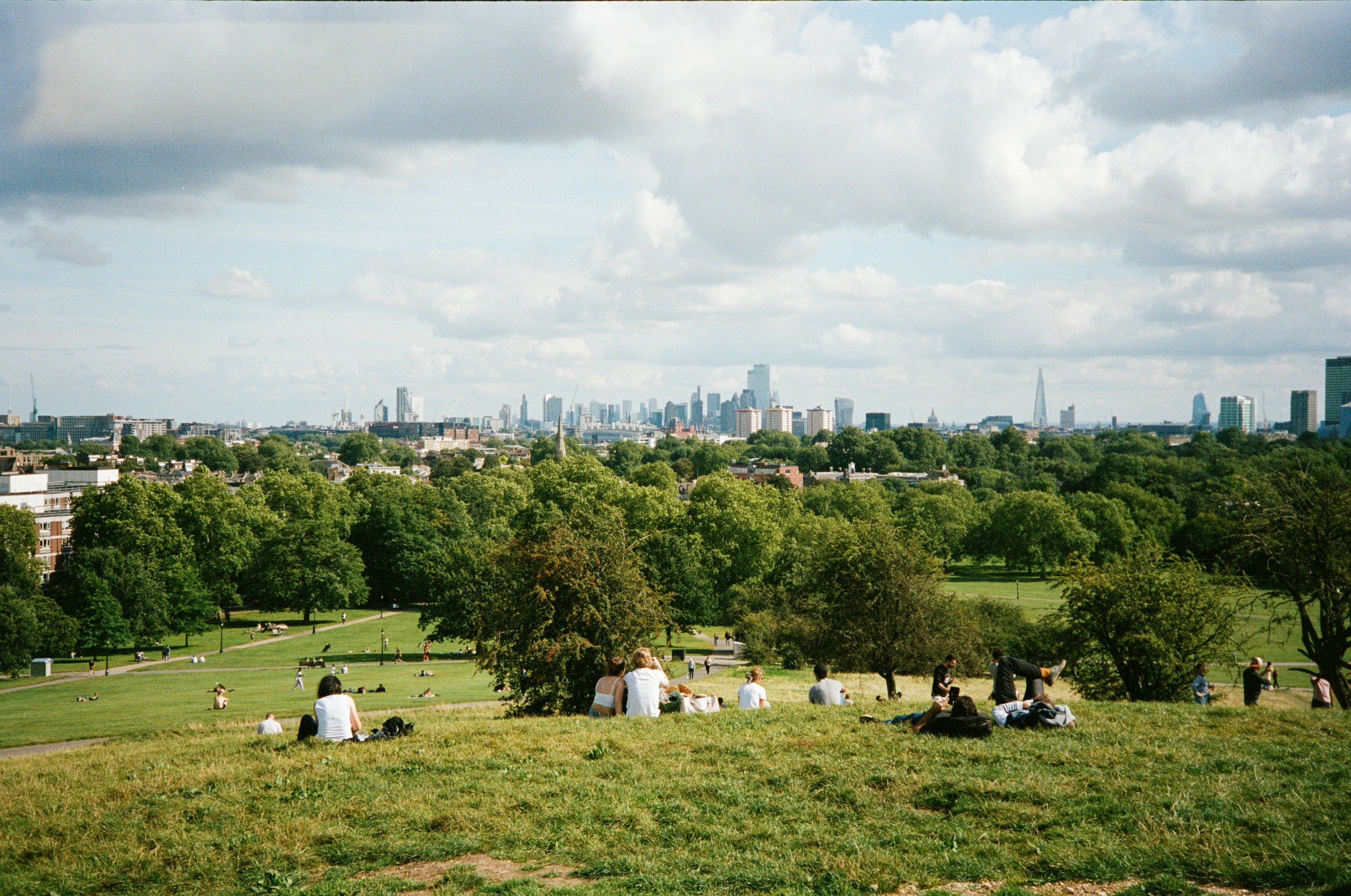
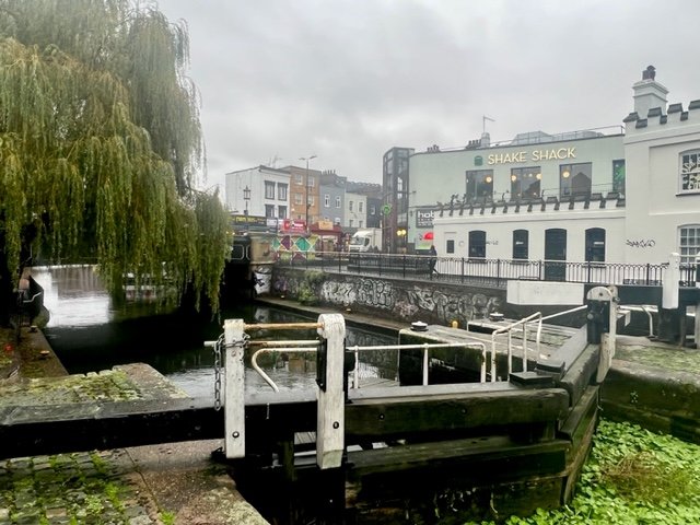
Hampstead Heath I Kenwood House I Parliament Hill I Camden Lock I Regents Canal I Primrose Hill I London Zoo I Regent’s Park
For the latest route, maps and full walking directions for this stage, visit The Walking Post.
ROUTE DETAILS
Start Highgate tube – Northern Line
End Baker St tube – Circle, Hammersmith & City, Bakerloo, Jubilee & Metropolitan
Difficulty Easy
Length 6.5 miles
Average time 2.5-3.5 hours
Total ascent 293ft
For the latest route, maps and full walking directions for this stage, visit The Walking Post.
SECTION 3: BAKER STREET TO BATTERSEA
Distance 6.2 miles
Marble Arch I Hyde Park I Buckingham Palace I St James’s Park I Trafalgar Square I South Bank Centre I Thames Path I London Eye I Houses of Parliament I Lambeth Palace I Battersea Power Station

ROUTE DETAILS
Start Baker Street – Bakerloo, Circle, Jubilee, Metropolitan
End Battersea Power Station – Northern Line
Difficulty Easy
Length 6.2 miles
Average time 2.5 – 3 hours
Total ascent 98ft
For the latest route, maps and full walking directions for this stage, visit The Walking Post.
SECTION 4: BATTERSEA TO COLLIERS WOOD
Distance 7.2 miles
Battersea Power Station I Battersea Park I Peace Pagoda I Thames Path I St Mary’s Church I River Wandle I King George’s Park I Wandle Meadow Nature Park

ROUTE DETAILS
Start Battersea Power Station – Northern Line
End Colliers Wood – Northern Line
Difficulty Easy
Length 7.2 miles
Average time 2.5-3.5 hours
Total ascent 50ft
For the latest route, maps and full walking directions for this stage, visit The Walking Post.
SECTION 5: COLLIERS WOOD TO CARSHALTON
Distance 6.1 miles
Deen City Farm I Merton Abbey Mills I Wandle River I NT Morden Hall Park I Watermeads Nature Reserve I Watercress Park I The Grove I Carshalton Park
Merton Abbey Mills: Photo credit from Wikipedia

ROUTE DETAILS
Start Colliers Wood – Northern Line
End Carshalton Beeches – Southern trains
Difficulty Easy
Length 6.1 miles
Average time 2.5-3.5 hours
Total ascent 233ft
For the latest route, maps and full walking directions for this stage, visit The Walking Post.
Want to walk the North to South London Trail?
Hopefully this has given you a taste of what you’ll discover along the 34-mile journey across London.
The route is maintained and updated by Emily Morrison and Lucy Maddison of The Walking Post, so for the latest maps, directions and downloadable route information, make sure you head over to their website before setting off.
A big thank you to Emily and Lucy for sharing the North to South London Trail with Walking in Circles.
Happy hiking!
Marc
If you enjoy my blogs i’d be grateful if you’d Buy me a Coffee!