Epping Forest
Hi I’m so excited to talk about Epping Forest, as it holds such a special place in my heart. From a kid growing up nearby, this has been my playground for many adventures!
As well as outlining all the waymarked trails in Epping Forest, I’m going to feature a 25km loop that I created!
Before I begin, for those who aren’t familiar with Epping Forest, here’s a few very impressive facts…
The forest is spread over 8,000 acres - making it the largest open space in London!
There’s around 55,000 ancient trees, which is more than anywhere else in England!
It boasts an astonishing 176 miles of walking trails - that are all clearly waymarked
There are a wide range of trails to suit everyone. All of them are well signposted, so you can find your way even if you’ve not walked it before. Most are circular, so you can start and end them anywhere along the trail, and start and end conveniently close to public transport, where possible. Here is a list of all trails in Epping Forest.
Epping Forest Trails
Beech trail
Starts at high Beech car park
Distance: 2.5 miles / 4km
Uneven over various terrains, including steep inclines and surface forest tracks
Chestnut trail
Starts at Warren Road entrance
Distance: 3.25 miles / 5.2km
Circular route with some sections across open grassland. Mainly flat with a few gentle inclines
Gifford trail
Starts at Sargeant’s Green Lane
Distance: 1.25 miles / 2km
Circular route, with a little uneven ground, taking you through Gifford Wood, and Oxleys and Potkiln Woods
Golden Hill trail
Starts at Golding’s Hill Pond
Distance: 1.6 miles / 2.57km
The trail covers some undulating and uneven ground, winding its way through some of the forest’s magnificent ancient trees, as well as the enchanting Lost Pond
Holly trail
Starts at Chingford Plain
Distance: 2.5 miles / 4km
Circular route, following surfaced forest paths, and some sections across Chingford Plain
Hornbeam trail
Starts at Snaresbrook Road
Distance: 3.5 miles / 5.75km
Mainly flat, along forest tracks across open grassland and wooded areas. A steep incline between Canada Plain and Waterworks Wood
Lime trail
Starts at Harrow Road Sports Pavillion
Distance: 1.5 miles / 2.5km
Mostly flat, across grassland and through woodland
Oak trail
Starts at Theydon Bois tube station
Distance: 6.6 miles / 10.6km
An undulating and moderately challenging trail
Rowan trail
Starts at Knighton Lane car park
Distance: 1.5 miles / 2.4km
Mainly flat with a gentle slope through some woodland areas
Willow trail
Starts at Connaught Water
Distance: 2.5 miles / 4km
A fairly easy walk, over a mix of surfaced tracks and grassland. One short steep slope towards the lake from Chingford Plain
Marc’s 25km circular Epping Forest hike
I created this 25km loop through the heart of Epping Forest. For me, not only is it an amazing opportunity to be able to take in so much of the outstanding beauty of the forest and it’s wildlife, but it’s also great for training for long distance challenges!
Route Description
Length - 25km circular route
Marc’s OS Maps link https://explore.osmaps.com/route/16143746/epping-forest-25km-loop
Difficulty level - Easy to moderate (more due to distance than terrain…although in changeable weather can get quite muddy in places!
Terrain - Mostly tracks, forest paths and bridleways, with some occasional off-piste navigation! Oh i do like of bit of fun whilst i’m out hiking!!
Parking - There’s plenty of on-site parking around the forest. For this route it’s best to park in High Beech, as it’s the start and end point. There are a couple of car parks costing around £6 for up to 6 hours (that just about should be enough time to complete this hike). For Pillow Mounds car park, use What3Words shins.dock.tight. Or for General Rides car park, use pints.healers.with
Facilities - On-Site cafe/restaurant - There are some excellent refreshment facilities in and around the High Beech area of Epping Forest, including Carl’s Tea Hut, which is located on the Pillow Mounds car park and is open from 10am to 4pm in the winter and from 10am to 5pm in the Summer. Min's Tea Hut, sometimes referred to as The Biker's Tea Hut', due to its popularity with motorcyclists, is located on the road to High Beach, just off of the Robin Hood Roundabout. The Tea Hut is open from 9am to dusk every day of the year.
There are public toilets, which are located within the General Rides carpark, adjacent to the Kings Oak Pub.
The Visitor Centre, which is located in High Beech, is managed by the Epping Forest Heritage Trust
My 25km Hike
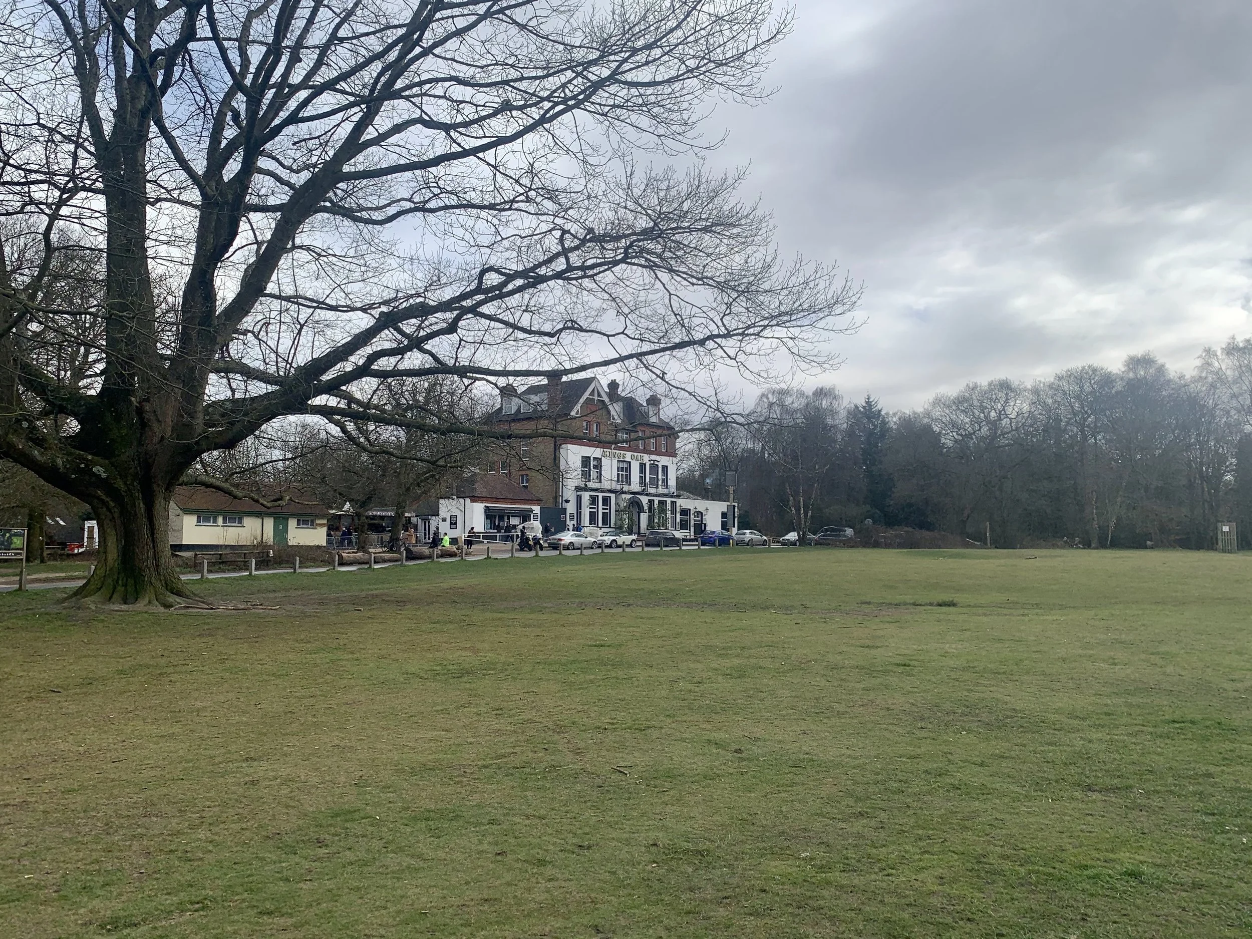
We start off outside the Kings Oak pub (see why i chose a circular route?)…and with the pub behind our backs, turn left down Paul’s Nursery Road, until it meets Cross Roads, and as the name suggests, we cross onto a track. We are heading in the direction towards Connaught Water.
High Beech start and finish point outside the Kings Oak Pub
The track is easy underfoot, as it weaves fairly straight for some time, nestled in between the woodland trees, with Hill wood to our right. Reaching an open space, the path dissects North Long hills to our left, and Whitehouse Plain to our right. Turning right, Almshouse Plain is to our left. What are these ‘Plains’ I keep referring too? Great question! They are wide open green spaces, where the views open up, which gives you more of a sense of the vastness of where you are. You could go off from here in a multitude of directions if you wish to, and Connaught Water can be accessed more directly…but for now, stick with me, and let’s continue on our journey…
We take a left now, down towards Ludgate Plain…yes another Plain! This leads us towards Cuckoo Brook…I’ve spiced things up now! At Bury Road we take a left turn, and then take the 2nd left path back towards the direction of Connaught Water. Eventually, you can choose any number of paths to your right, which will lead you down to Connaught Water. Well done! You made it here! Now, let’s take a walk around this stunning lake…
Connaught Water
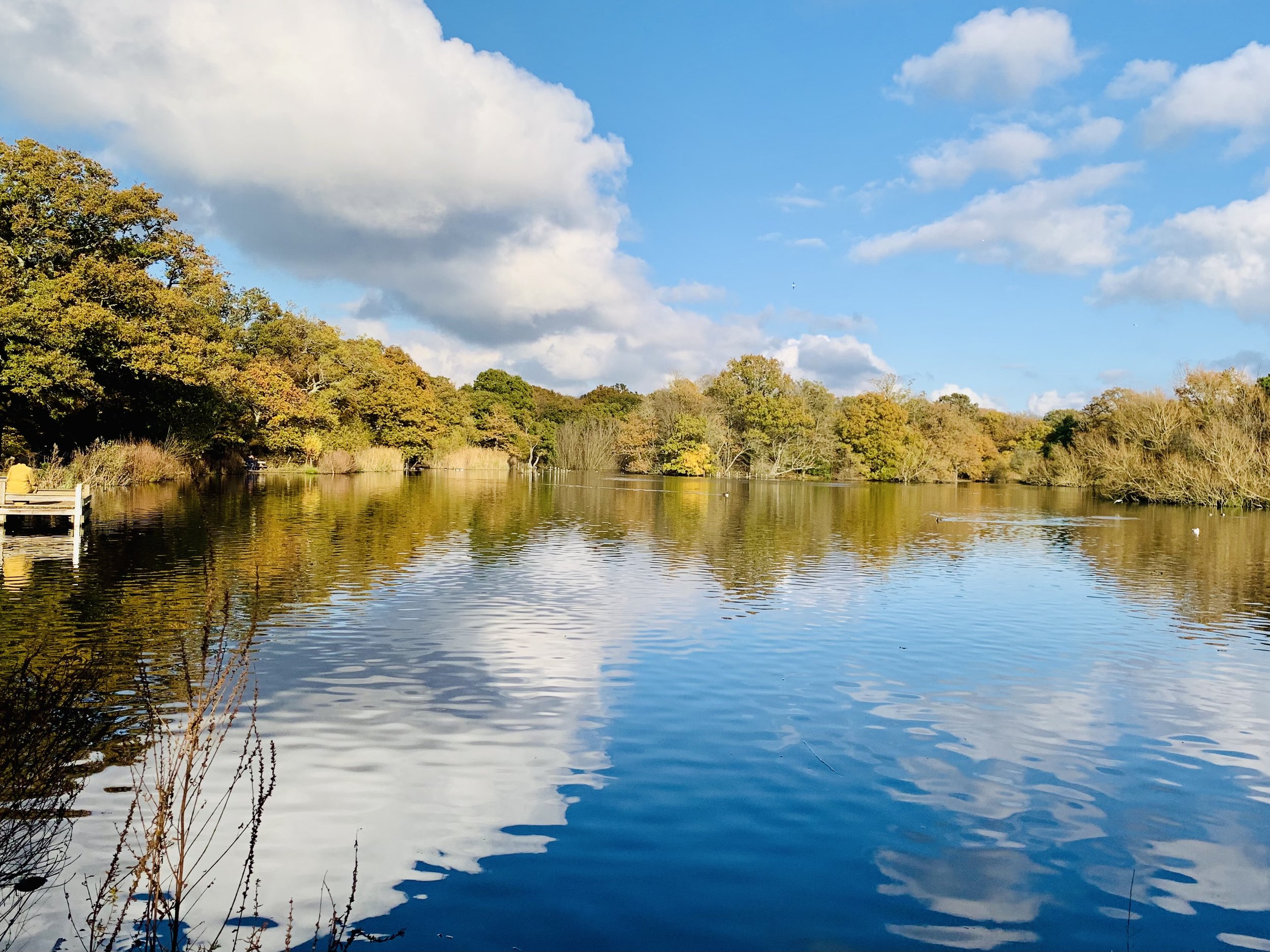
We take a 360 tour of the lake in an anti-clockwise direction. I love coming here any time of year, as it’s just so tranquil, and the lake is a natural habitat for swans, mandarin ducks, geese, and around 104 species of birds!. If you decide to come here at dawn, you won’t be disappointed! It’s a magnificent scene. But on we must go…
Our hike continues back in the direction towards High Beech, but taking a far straighter route on a track that runs alongside Fairmead Road, eventually us joining that road (don’t panic…it’s not a road in the sense of having any cars on it! It’s really just still a track!).
English Longhorn - Some of the Forest’s herd of conservation grazing cattle may often be seen at Fairmead
This long path takes us all the way back to Cross Roads. Now, you have an option…carry straight on, or take a well earned coffee (or whatever else you fancy) break, at the notorious bikers cafe (situated just to your right, by a small car park). Personally, I’d advise taking the short break for a drink and a snack before continuing. It’s a pleasant spot where you can rest for a while on a log, and just take a few moments to reflect on your hiking journey thus far.
Note - You have the option here to finish your hike for today, and return another time to complete the hike, as the car park is just a short walk from here.
However, if you’re feeling refreshed and eager for more… Let’s carry on!
We cross over the road to the left and then take an immediate right turn onto a path that runs in between some dense trees. this path is a delight, as we’re now back in the woodland, with all it’s ancient trees. You can really feel the age of the forest here! However, as the Epping New Road is close by, it’s a reminder that we’re not completely lost in the woods.
Eventually we must cross over this often busy stretch of road. We cross over into a car park, heading with a slight turn to our right through the car park, with Mount Pleasant on our right, and Little Monk wood to our left, until we come to a sort of T-Junction. Turn left, so that Little Monk wood remains on our left. I love this part of the hike, as the path winds round and the trees fall below to our left. It’s quite a different feel here to the section of forest we’ve experienced previously. There’s a few small inclines followed by descents to navigate. Nothing too strenuous though, and we continue on this path until we reach a section of road we must cross…Golding’s Hill.
Crossing the road and through another small car park, keep going in a fairly straightish line to we reach Forest Road. Again, it’s not a proper road! No cars, just fellow hikers, bikers, and dog walkers! Make a left turn here. We keep going straight for some time now, with the forest running on both sides. Forest Road becomes Green Ride, and we are soon approaching Bell Common. You’ll make a right turn, followed by a left onto Theydon Road (this one is a real road!). Sticking on the right hand side we see some residential cottages on Bell Common. At the end of the Common (small green)…this is the point of the trek where we start to head back, albeit via another section of forest we haven’t explored yet.
We’re not far from Epping now. But instead of heading in that direction, we turn left, and follow a small path that runs alongside High Road. We keep on going for a while. The path at this point can get a bit muddy, and tricky to navigate. But not for long. We now need to cross over High Road (this is a very busy road which has a national speed limit…so please take care when crossing!). We cross near Warren House, and step into a quieter section of Epping Forest now, called Warren Woods. I say quieter, although for a short while the distant humming sound of the M25 is present. But we’re alone. I know that, as i don’t think I’ve ever seen another person walking through this section of the woods. Don’t let that put you off. It’s a pleasure to stroll through here, in this denser section of almost forgotten woodland. If you’re lucky enough you’ll spot some fallow deer, and muntjacs. They also love the peace here, so please don’t startle them.
Redwoods in Winter, in Warren Wood
We keep to our right, and pass by Warren Wood house. This path runs in between some tall Redwoods. Simply stunning! Eventually we come to an easier track, taking a right. We pass London Lodge West to our left, and have to take an off-piste left turn to take us to Crown Hill. Cross over the road, taking a left then immediate right back into a forest path. It’s a dead straight walk now for a while, as we head towards the Epping New Road. Just before the main road, there’s a path to our right (we don’t want to walk on that busy main road do we now?). The track snakes down. I love this path come bridleway that’s nestled in the heart of the woods.
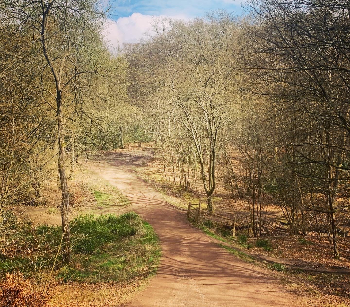
The bridleways can become quite sticky! But such a glorious tree-lined track leading us back towards High Beech!
We are making great progress now, and heading back towards High Beech. Keep going now, it will be worth it! Eventually we come to a path to our right, that runs alongside Woodridden Hill. Take that path, and shortly we will cross over the road (this also can be a very busy section of road, so take care). The path climbs a little and then opens up to an expansive open view towards Waltham Abbey, and beyond that to Lea Valley. We take the path downhill towards Honey Lane at the bottom of the hill.
Views from Woodridden Hill towards Lea Valley
Now, we’re getting close to our finish, but have some uphill walking to do first! Take the track up towards Claypit Hill, where we cross over to our right in the direction of High Beech Golf Club. From here it’s pretty much straight all the way, uphill mind, but we don’t mind that. After all, remember where we parked? Yep, you got it, The King’s Oak pub. Time for a celebratory drink!
The final push up High Beech towards the Kings Oak Pub
Awesome job! you did it! Well maybe you didn’t. Maybe you’re just exhausted after reading this lengthy blog, that you’ve put it to one side as an after thought. Either way, you made it through my blog! So congrats!
Happy Hiking!
Marc
If you enjoy my blogs feel free to buy me a coffee!
For more amazing woodland walks in Essex, check out these Top 10 places i’m recommending…


